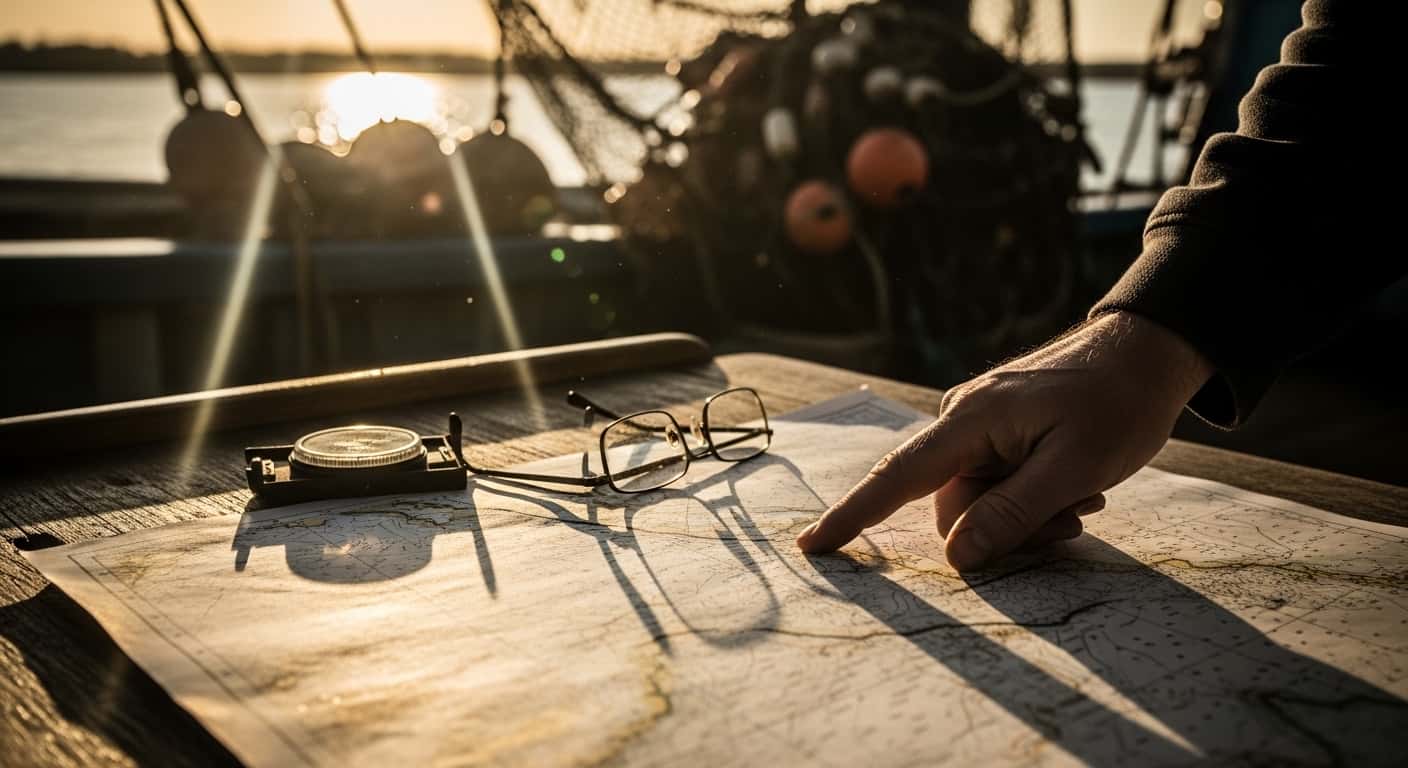
Reading nautical charts is not just a skill for captains—it is the secret weapon of every successful offshore angler. The ocean is vast, and fish are rarely found by luck alone. Those who consistently catch big game offshore rely on charts to pinpoint hidden structures, safe routes, and potential hotspots.
If you want to move beyond guesswork and fish like a pro, learning to interpret these charts is essential. Let’s break down the key elements you need to master for confident and productive offshore fishing.
What Is A Nautical Chart?
A nautical chart is a detailed map designed for navigation at sea. Unlike standard maps, these charts show water depth, underwater features, navigation hazards, and aids like buoys or lighthouses. For anglers, charts reveal the underwater landscape—helping you find places where fish gather.
Nautical charts use a mix of symbols, colors, and numbers to display information. They cover everything from shallow bays to deep ocean canyons. Most charts are produced by government agencies or specialized companies and are updated regularly to reflect changes on the seafloor.
Understanding Depth Contours
Depth contours, or bathymetric lines, are the backbone of chart reading for fishing. These lines connect points of equal depth, creating a picture of the underwater terrain. On a chart, closely spaced contours mean a steep slope, while wider spaces show gentle drops.
Here is a quick comparison of how contour lines appear on charts:
| Contour Spacing | Indicates | Fishing Implication |
|---|---|---|
| Close together | Steep drop-off | Good for predatory fish |
| Wide apart | Gradual slope | Often less productive |
Understanding these lines helps you spot key areas—like underwater cliffs or flat plateaus—where fish are likely to hold.

Credit: onthewater.com
Identifying Productive Offshore Structure
Certain underwater features attract more fish. Nautical charts reveal these structures, giving you an edge. Here’s what to look for:
Ledges And Drop-offs
Ledges are underwater edges where the seafloor drops suddenly. Fish like snapper, grouper, and amberjack often patrol these areas, waiting for baitfish. On charts, ledges appear as tight clusters of depth lines.
Humps And Peaks
Humps are underwater hills, sometimes called “sea mounts.” These can attract pelagic species like tuna and kingfish. Humps are shown on charts as closed loops of contour lines with decreasing numbers toward the center.
Canyons
Canyons are deep cuts or valleys in the seabed, usually starting near the continental shelf. These areas funnel currents and nutrients, attracting big fish. On charts, canyons look like long, narrow indentations with dramatic changes in contour lines.
Artificial Reefs And Wrecks
Artificial reefs and shipwrecks are marked with special symbols. These spots hold baitfish and large predators year-round. Most charts use icons or abbreviations like “WR” for wrecks.
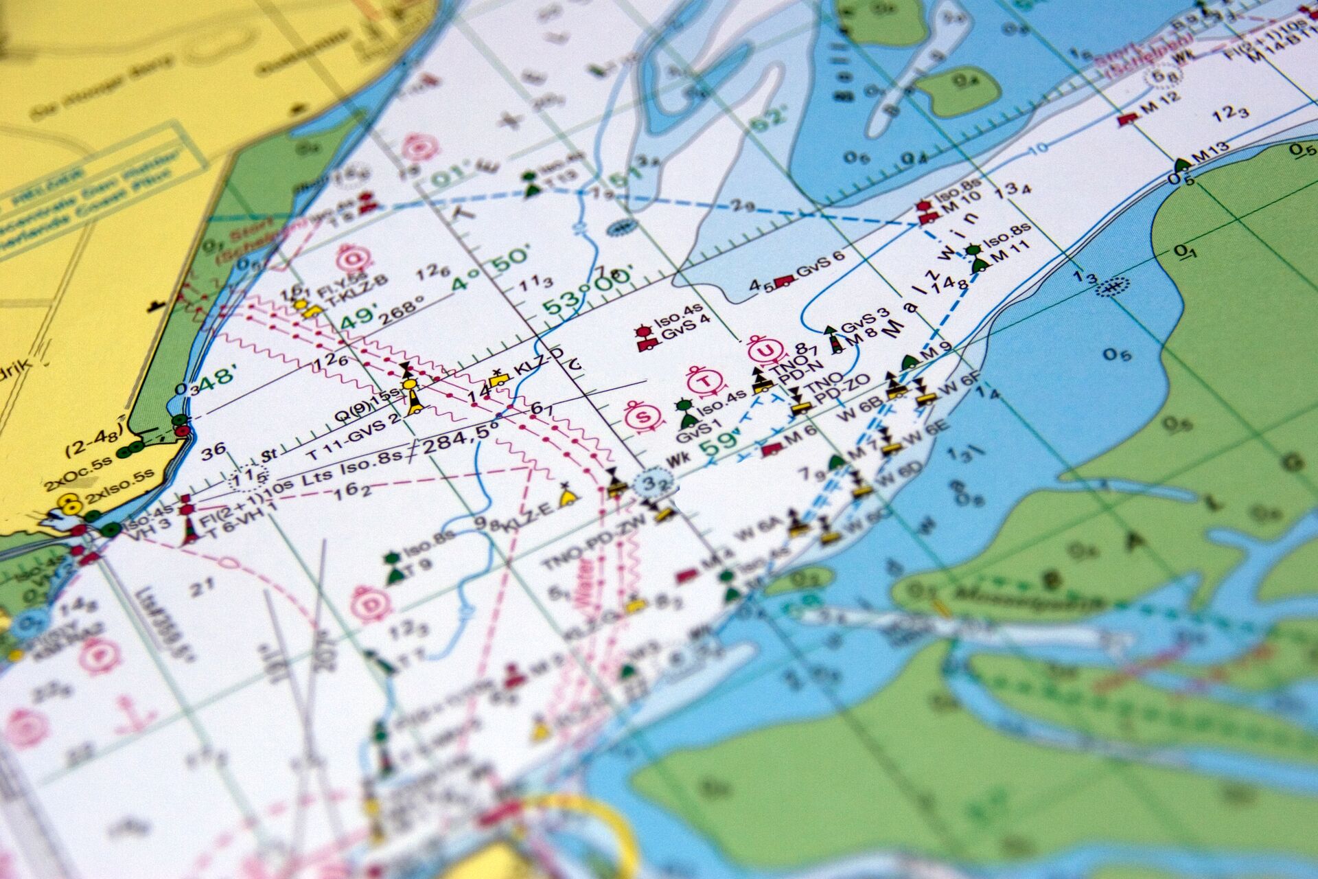
Reading Colour Gradients On Fishing Charts
Many modern fishing charts use colour gradients to show depth. Shallow areas may be light blue or green, while deeper waters are dark blue or purple. This visual system helps you quickly identify drop-offs, reefs, or shelves.
For example, if you see a sudden shift from light to dark blue, it often means a steep underwater wall—a prime spot for predatory fish. Colour gradients save time and make it easier to scan large offshore areas for likely fishing grounds.
Credit: www.ilearntoboat.com
Digital Charts Vs Paper Charts
Both digital and paper charts have their place in offshore fishing. Here’s how they compare:
| Feature | Digital Charts | Paper Charts |
|---|---|---|
| Portability | Easy to carry on devices | Bulky, can get wet or torn |
| Updates | Instant via internet | Manual, may be outdated |
| Detail Level | High, with zoom | Fixed scale |
| Battery Dependency | Needs power | No power needed |
A smart angler carries both—a digital chart for quick searching and live updates, and a paper chart as backup if electronics fail.
Best Chart Apps For Offshore Fishing
Smartphones and tablets have made chart reading easier than ever. Here are the top apps used by offshore fishermen today.
Navionics
Navionics offers highly detailed charts, community-sourced updates, and easy waypoint marking. Its “SonarChart” feature shows live depth changes, which is a game changer for finding new fishing spots.
C-map
C-MAP is known for its advanced bathymetric data and compatibility with many GPS devices. It provides custom shading and easy route planning, perfect for exploring unfamiliar waters.
Garmin Activecaptain
Garmin ActiveCaptain links your mobile device to your Garmin chartplotter. It allows real-time sharing of waypoints, routes, and even hazard updates from other users. This makes it easy to keep your charts current and detailed.

Credit: www.garmin.com
How To Mark And Save Waypoints
Marking waypoints—specific GPS coordinates—is key for returning to productive fishing spots. Here’s how to do it effectively:
- Zoom in on the structure you want to fish.
- Drop a waypoint directly on the spot (most apps have a “+” or “Mark” button).
- Name the waypoint clearly, such as “East Ledge” or “2024 Snapper Spot.”
- Add notes about depth, bottom type, or what you caught there.
- Back up your waypoints to the cloud or a memory card in case your device fails.
Many anglers miss the importance of organizing waypoints by season or target species. Over time, this creates a personal fishing database you can use year after year.
Combining Charts With Sonar For Best Results
Charts give you the big picture, but sonar provides real-time details. The best offshore anglers always use both. Here’s why:
- Charts show where the structure is, but sonar confirms if fish are present.
- Sonar helps you see baitfish, temperature changes, or bottom hardness—information not visible on charts.
- Combining both helps you avoid “dead” areas and focus only on spots with active fish.
For example, after marking a hump on your chart, use your sonar to find the exact side where fish are feeding. This precision leads to more hookups and less wasted time.
Frequently Asked Questions
What Is The Difference Between A Chart And A Map?
A chart is designed for navigation on water and includes depth, hazards, and underwater features. A map shows land features and roads. Charts are essential for safe boating and fishing offshore.
How Do I Know Which Contour Line Means What Depth?
Check the chart’s legend—it shows the value of each contour line. Most charts use meters or feet, and the lines are labeled at regular intervals.
Are Digital Charts Accurate For Fishing?
Yes, most modern digital charts are highly accurate. However, always update your charts and use sonar to confirm depth, as sandbars or wrecks can change over time.
Can I Use My Phone As My Main Chartplotter?
You can, but always carry a backup like a paper chart or a dedicated GPS. Phones can lose power, signal, or get wet—don’t rely on just one device offshore.
Where Can I Learn More About Chart Symbols?
You can find official symbol guides from the International Hydrographic Organization. A good resource is the Nautical Chart Wikipedia page.
Mastering nautical charts for fishing is more than reading lines—it’s about understanding the ocean’s hidden language. When you know how to spot ledges, read color gradients, and combine charts with sonar, you open a world of new fishing opportunities. It’s a skill that takes some practice, but every trip will teach you more.
Invest the time to learn, and soon, you’ll be leading the way to the best offshore spots—while others are still guessing. Safe fishing and tight lines!

Tony L. Smith is a dedicated fishing expert with over 15 years of hands-on experience in freshwater and saltwater environments. As the founder of FishingStaff, Tony is committed to demystifying fishing gear for beginners and budget-conscious anglers who refuse to compromise on quality. Learn more about Tony & find him on Twitter. Happy reading!